Project muda-clima · TerraShift architecture
What today's land use faces in tomorrow's climate
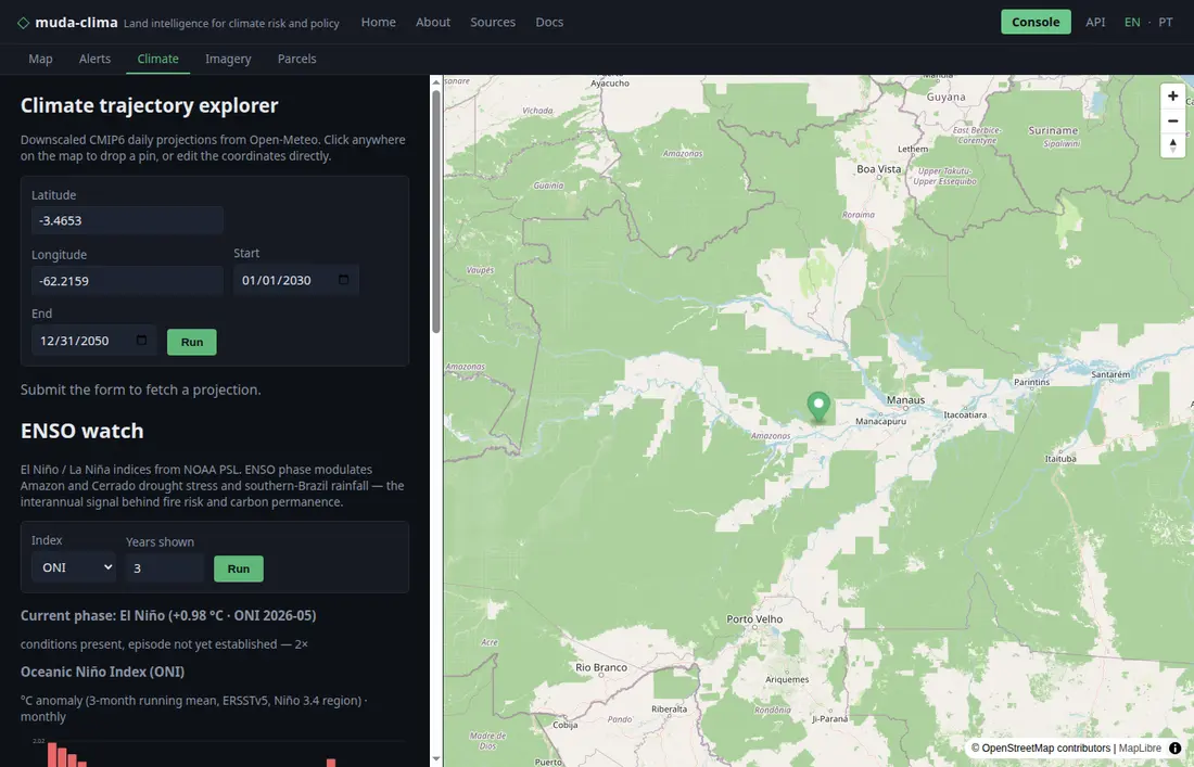
Click any point in Brazil or Canada. muda-clima reads the land use around it (MapBiomas, AAFC) and crosses it with three CMIP6 climate models to tell which area is exposed to more heat, drought and heavy rain in 2041–2070 — openly, with the models' coarse scale drawn on the map. Deforestation alerts, ENSO and Sentinel-2 imagery sit alongside, and the same data flows through an open API.
ENSO now El Niño +2.16 °C conditions present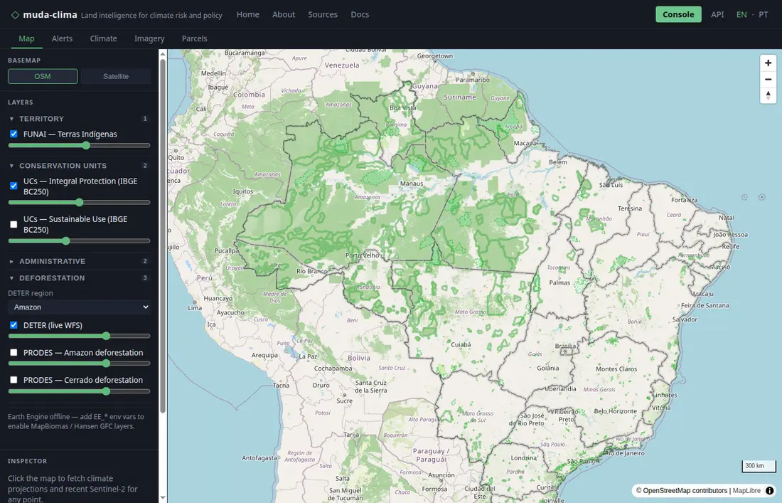
9
ENSO indices, live from NOAA PSL
6
biomes with PRODES yearly deforestation
5,000+
VCS carbon projects, searchable
1891–
observed rainfall record (GPCC)
What you can do today
Carbon market search
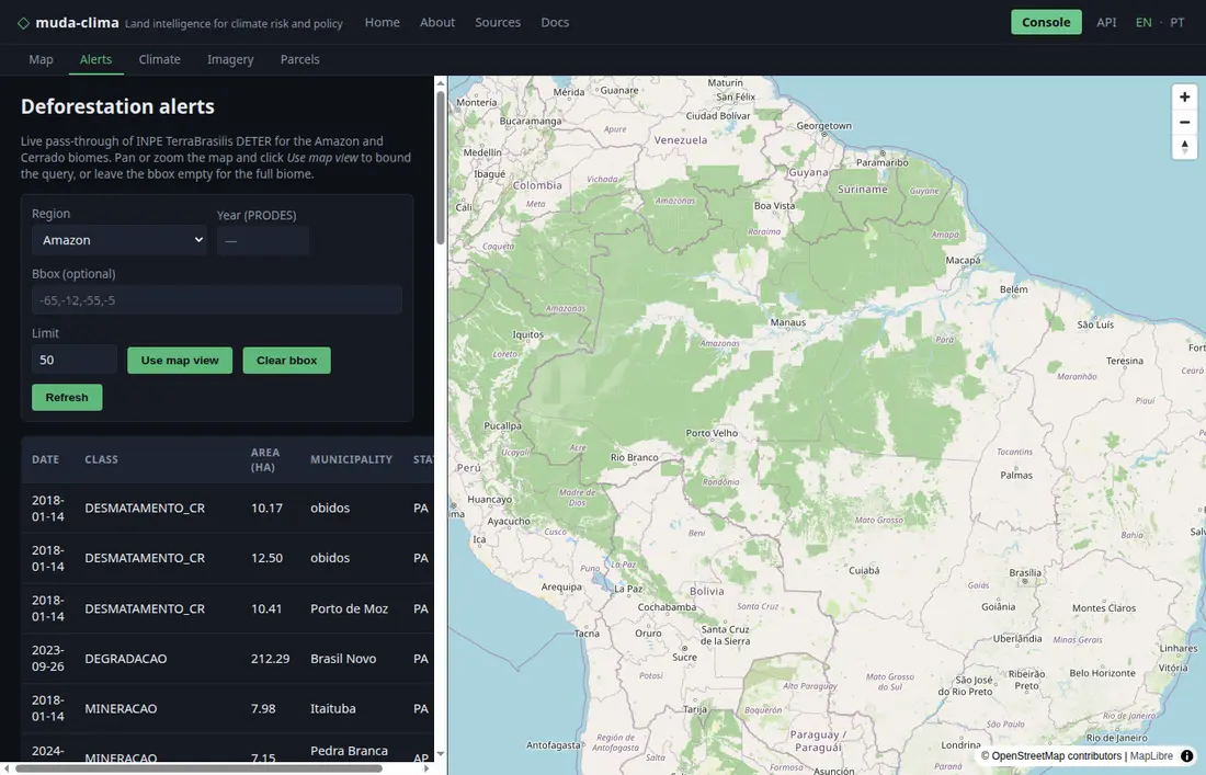
Search 5,000+ projects on the public Verra VCS registry by country and land-use category — pre-screen a landscape before originating or buying credits.
Satellite imagery search
Search Sentinel-2 L2A scenes via the Element84 STAC catalog. Returns thumbnails and direct COG asset links on AWS Open Data.
Parcel registry
Register a polygon as a versioned parcel record — the internal unit of truth that every TerraShift product is keyed to.
What makes this different
Parcel as the unit of truth
Pixels and grid cells are raw material. Every output is keyed to a stable parcel UUID linked to all external cadastral IDs (CAR, SIGEF, FUNAI, LTSA, ISC) — the audit trail carbon registries and regulators need.
Indigenous data held in trust
Three hard data tiers governed by FPIC in Brazil and OCAP in Canada. Communities are partners with revenue share, not subjects of monitoring. Right-to-withdraw is a first-class technical guarantee.
Provenance hashed end-to-end
Every record carries a SHA-256 hash over its source dataset versions. Carbon buyers and reinsurers can reproduce a risk score months later and prove which Sentinel scene, CAR version, and CMIP6 run produced it.